Land Records
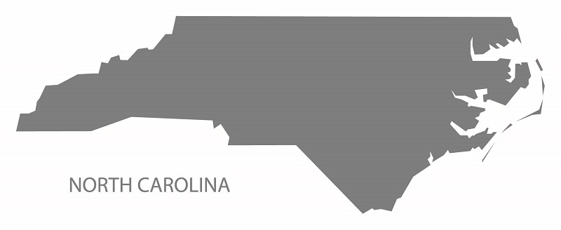
Land Records Management
Land Records Management Section assists local governments in establishing standards for the indexing and electronic access and storage of vital land records involved in real property transactions. The Section provides expertise in the creation and improvement of large-scale county maps and record-keeping procedures with an emphasis on computerization.
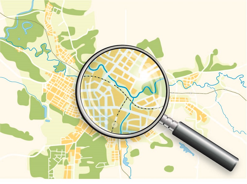
Search Land Records


What We Do
Land Records Management Section assists local governments in establishing standards for the indexing and electronic access and storage of vital land records involved in real property transactions. The Section provides expertise in the creation and improvement of large-scale county maps and record-keeping procedures with an emphasis on computerization. Local governments wishing to modernize and standardize their land records receive technical assistance from the Section in seven major areas:
- Base mapping
- Cadastral mapping
- Parcel identifiers
- Automation of land records
- Uniform Indexing of land records
- Uniform recording and indexing for maps, plats and condominiums
- Security and reproduction of land records.
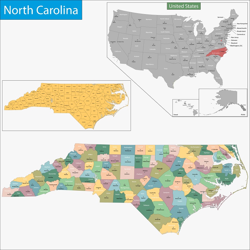
The Section is also responsible for maintaining the municipal annexation maps and ordinances, municipal charter amendments, and county boundary maps that are required to be filed with the Department of the Secretary of State.
Contact Land Records
Telephone
919-814-5455Mailing Address
The Land Records Management SectionPost Office Box 29622
Raleigh, North Carolina 27626-0622